
|
|
|
|
|
|
|
|
|
|
|
|
|
|
|
|
|
|
|
|
|
|
|
|
|
|
|
|
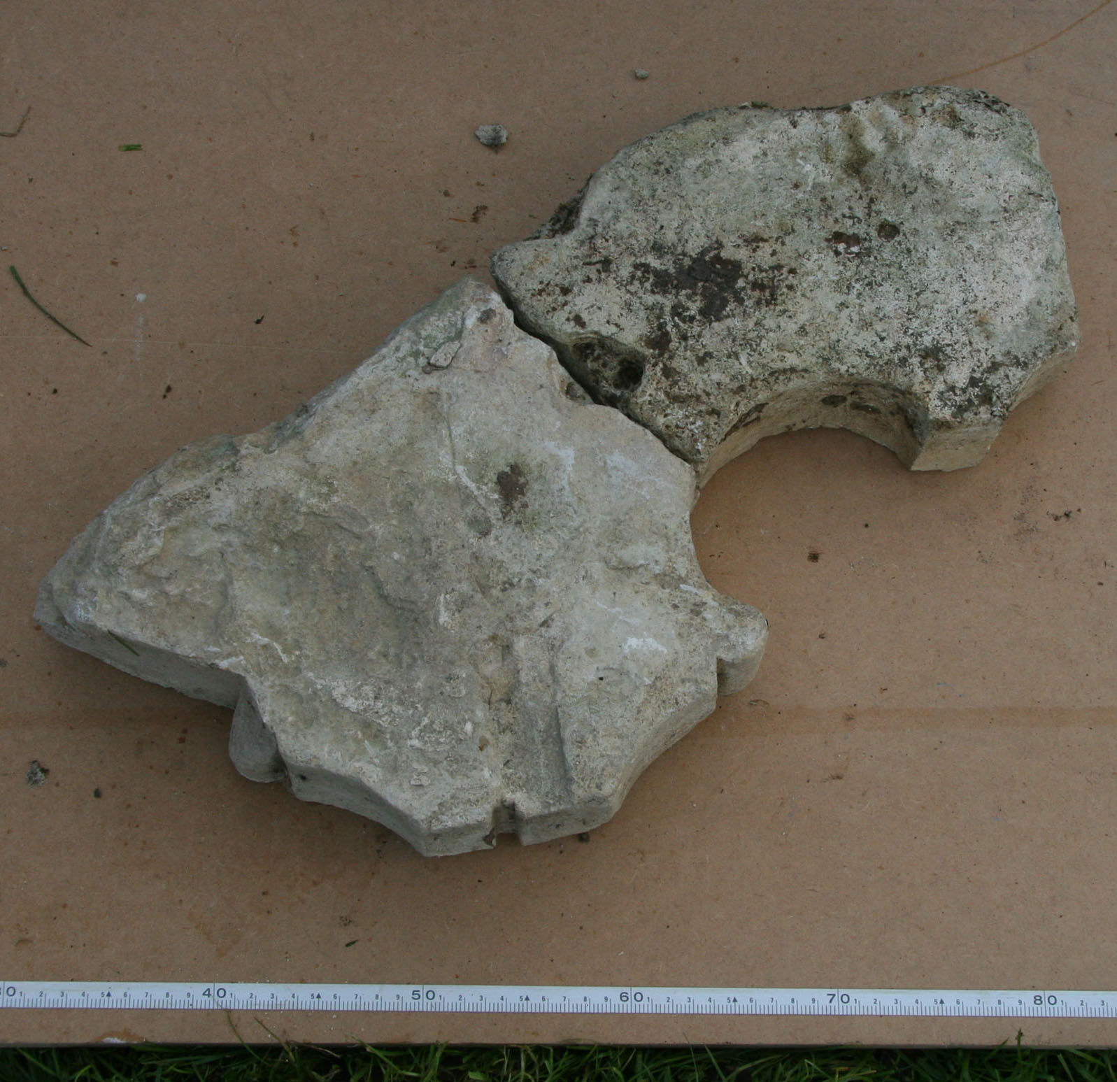
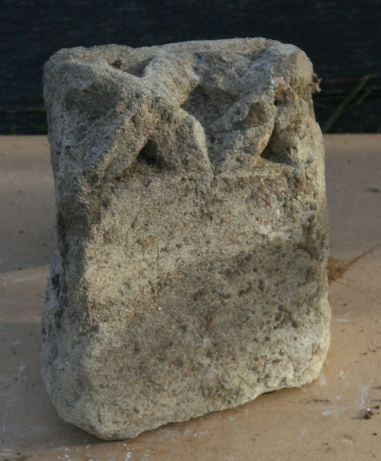
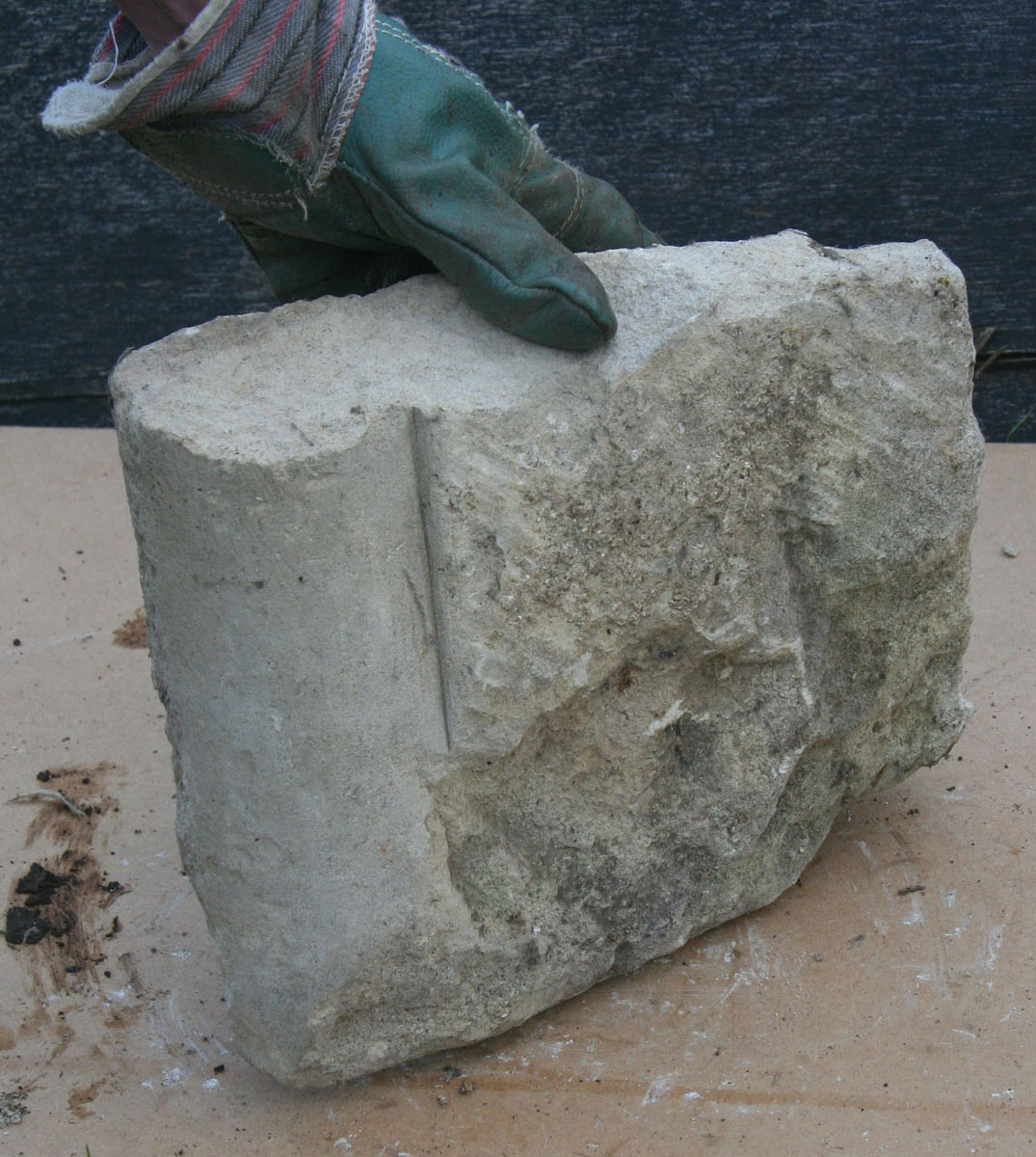
Carved stones found at Hogshaw: on the left is a horizontal slice across a complex moulded pillar; centre is a
‘dog-tooth’ moulding dated to the late 12th or early 13th century; that on the right shows a
moulded pillar.
Hogshaw deserted medieval village
THE VILLAGE of Hogshaw appears in Domesday Book in 1086, when it had a population of about 30 people. Today its site is mainly grassland occupied by sheep – but with two fishponds, an empty moat and banks to show that it was not always just fields.
A project team from the BAS Active Archaeology Group started work to find out just what remains under the grass. First step was to look at historical records. Second was to begin a measured survey of the remaining banks and ditches. The third step was a geophysical survey which might identify buried foundations.
THE DOCUMENTARY RECORD
Hogshaw wasn't just a village. In 1180 the manor of Hogshaw was given to the Knights Hospitallers, a minor monastic order whose aim was to provide hostels (‘hospitality’) for pilgrims journeying to Jerusalem and the Holy Land. Documents show that Hogshaw was one of the ‘preceptories’. We hope to find out whether this was a hostel for travellers, or just an agricultural village whose rents were sent out to support the Knights Hospitallers’ work in Jerusalem.
But we do knows that there was a church at Hogshaw. It is not there today, but the stones found on the site indicate that the church was built soon after 1180, when the Knights Hospitallers arrived. Demolished in 1730, its exact position is now not known.
We also know that the villagers were evicted from their homes in the late 1400s – to make way for sheep. Their houses were pulled down to prevent them returning there. The building of a new farm track in 2003 revealed rough stone foundations, probably for timber-framed cottages. (This also happened at the manor next-door – see Doddershall deserted village.)
After the dissolution of the monasteries in the 16th century the preceptory buildings became a local manor house, which was abandonned in its turn in the 18th century.
THE GEOPHYSICAL SURVEY
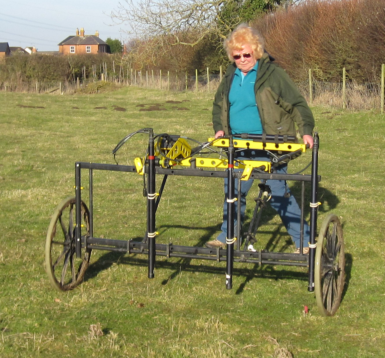
In February 2015 Resistivity and Magnetometry geophysical surveys were carried out over a large area of the site. Results on the moated platform showed faint linear features, but nothing that could be definitively identified as the remains of building foundations. In contrast, results on the rest of the site showed large areas of rubble indicating collapsed or demolished brick buildings, probably dating from the 16th-century manor house.
On the eastern side the survey revealed a rectangular feature containing a cross-shape. This may be a formal garden feature with crossed paths edged with either magnetic rocks or perhaps brick. Two mounds of rubble on the eastern edge of the surveyed area face towards the road with a short holloway between them, perhaps indicating a gatehouse with a central archway.
The one disappointment was to find no signs of the church – though a large central area of rubble undoubtedly hides whatever foundations remain from the church and other preceptory buildings.
WHAT NEXT?
Hogshaw is a historic site scheduled and protected by English Heritage. What can be done there is limited. But it has a fascinating history – and the group will return for further investigations at some time in the future.
Read the geophysics report:
![]() Hogshaw Geophysics : BAS Report November 2015
Hogshaw Geophysics : BAS Report November 2015
SURVEY BY
MEMBERS OF THE BAS ACTIVE ARCHAEOLOGY GROUP, CHESS VALLEY ARCHAEOLOGICAL AND HISTORICAL SOCIETY AND THE COMMUNITY ARCHAEOLOGY GEOPHYSICS GROUP, LED BY KRIS LOCKYEAR
REPORT BY PETER MARSDEN FROM PLOTS BY KRIS LOCKYEAR